Snowstorm Targets Mid-Atlantic and Northeast as Arctic Cold Freezes Major US Cities
Winter made its harsh presence felt across much of the nation on Sunday as a potent Arctic blast brought some of the season's coldest temperatures.

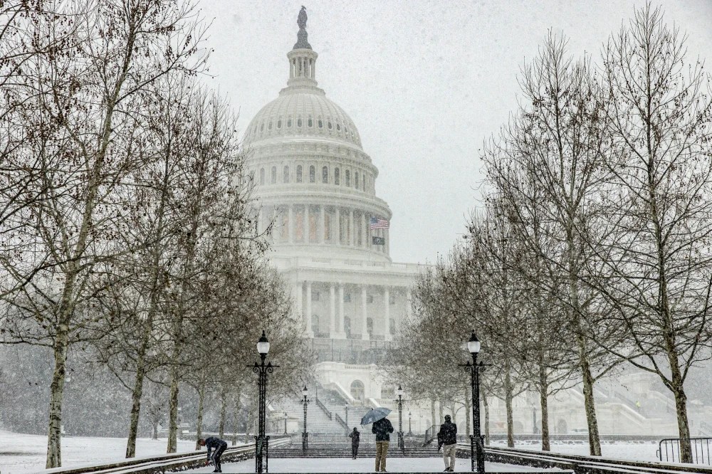
In parts of the Upper Midwest, temperatures dipped below zero, with wind chills plummeting to minus 20 degrees in some areas. The cold was sweeping eastward into the Mid-Atlantic and Northeast, arriving just in time for Inauguration Day. Washington, D.C., was expected to be so frigid that the ceremony was moved indoors.
The far-reaching impacts of this extreme cold could disrupt local economies, stress power grids with increased heating demands, force school closures, and endanger public health with "real feel" temperatures dropping as low as minus 50 degrees, according to AccuWeather Meteorologist, Haley Taylor.
How Much Will the Ice Affect?
Snow and ice are forecast to stretch from New England to the Gulf of Mexico in the coming days. Boston could receive 4–8 inches of snow by Sunday night and Monday, while Philadelphia might see 3–7 inches, and Washington, D.C., 1–3 inches. The South isn't exempt: Charleston, South Carolina, could experience snow, while New Orleans braces for ice.
"Okay, it's time to get ready!" The Weather Service in Charleston warned on social media. "Bitterly cold temps and accumulating snow and ice will occur this week. Take advantage of today's last bit of warmth to prepare your home, car, and self for the upcoming winter weather."

The White House covered in snow. Photo: NBC Washington
Impact on People's Lives
Subzero wind chills are expected to reach the southern Plains by Sunday night and linger until Wednesday, according to the National Weather Service. Hazardous cold will likely affect the Gulf Coast and Southeastern U.S. through much of the week.
The National Weather Service in Pittsburgh warned that "periods of dangerously cold wind chills as low as 25 below zero could cause frostbite on exposed skin in as little as 30 minutes. Frostbite and hypothermia are real risks if skin remains unprotected in these conditions."
This cold snap, arriving at the peak of winter, is likely to bring record-low temperatures. Washington, D.C., could see single digits, while New Orleans might drop below freezing, with wind chills approaching minus 20 degrees. "Some record-low temperatures will likely be broken," said AccuWeather Senior Meteorologist, Adam Douty.
What About Other Regions of the U.S.?
The core of the cold front will hit the Dakotas, Minnesota, and Wisconsin on Monday, with high temperatures struggling to reach 0 degrees. Overnight lows could drop as far as 30 degrees below zero, AccuWeather warned.
Minneapolis, for instance, was expected to remain at or below the 0-degree mark through Sunday and part of Monday, potentially straining energy supplies as residents try to keep their homes and businesses warm.
By Tuesday and Wednesday, the extreme cold will move eastward, affecting areas like Philadelphia, where daytime highs are forecast to remain in the upper teens. The last time Philadelphia recorded highs this low was over two years ago, AccuWeather reported.
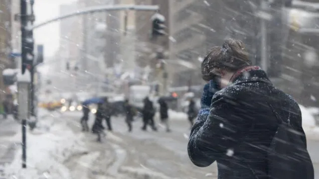
Along the East Coast, snow will add to the challenges of the frigid temperatures. Snow began falling Sunday morning across Virginia and the Delmarva Peninsula. It was expected to move north along the I-95 corridor throughout the day, reaching southern New England by Sunday evening. "The swath of heaviest snow from this event is expected between the greater Washington, D.C., metropolitan area and Boston," the weather service stated.
